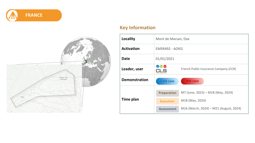
At the beginning of 2021, a portion of the Landes département was affected by heavy rainfall associated with the passage of Storm Bella.
Saturated soils, resulting from the accumulation of precipitation since December 2020, coupled with another episode of intense rainfall, led to significant river overflow. Cities along the Midouze and Adour rivers were among the hardest hit, with several floods during the winter and exceptionally high water levels. In Dax, water levels reached 5.89m in early January 2021, approaching the 6.03m recorded in 1981. In the town of Tartas, the Midouze reached 4.03m between 1 and 2 January, the second highest level after the historic flood of 1843 (4.62m), resulting in the flooding of the town and the impact on 150 buildings.
Indicators to be tested:
Historical 6 hourly return period precipitation map
Machine Learning data driven forecast of return period-based precipitation events in urban areas
Urban inundation probability maps and water depth defined by return period at a spatial resolution lower than 10m