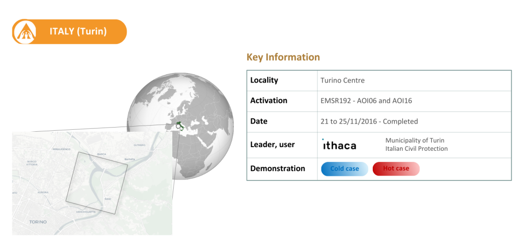
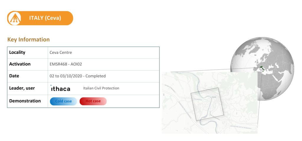
The Italian use case focuses on the Piedmont region, specifically the Turin Centre along the Po River and the Ceva area over the Tanaro River. Archive data shows that the region has faced a crisis event on average every 2 years since 1800, such as the 2016 inundation in Turin and the 2020 flood in Ceva.
Given its medium hazard level for riverine floods, the region is particularly susceptible to flooding episodes. With a dense population and an abundance of infrastructure, particularly industrial, measures such as the levee construction and real-time forecasting have been implemented for flood risk mitigation. Supported by high-resolution datasets and LiDAR scans, this use case enabled the integration of advanced 3D modelling techniques for improved flood prediction and impact assessment.
Through this work, the project has demonstrated an improved capacity to forecast and characterise floods in these urban areas, strengthening the accuracy and timeliness of hazard assessments. Gaps in current response tools were also identified and addressed, enabling more appropriate responses to complex emergencies and cascading crises. The feedback of local technical authorities further highlighted the project’s commitment to reliability, consistency, and usability, reinforcing confidence in the methodologies and outputs developed.
Importantly, the results and insights retrieved from these specific use cases can be extended to the whole European area, supporting broader advancements in flood risk management and emergency preparedness across the continent.
Indicators to be tested:
Historical 6 hourly return period precipitation maps
Machine Learning data driven forecast of return period-based precipitation events in urban areas
Urban inundation probability maps and water depth defined by return period at a spatial resolution lower than 10m