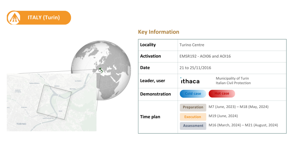
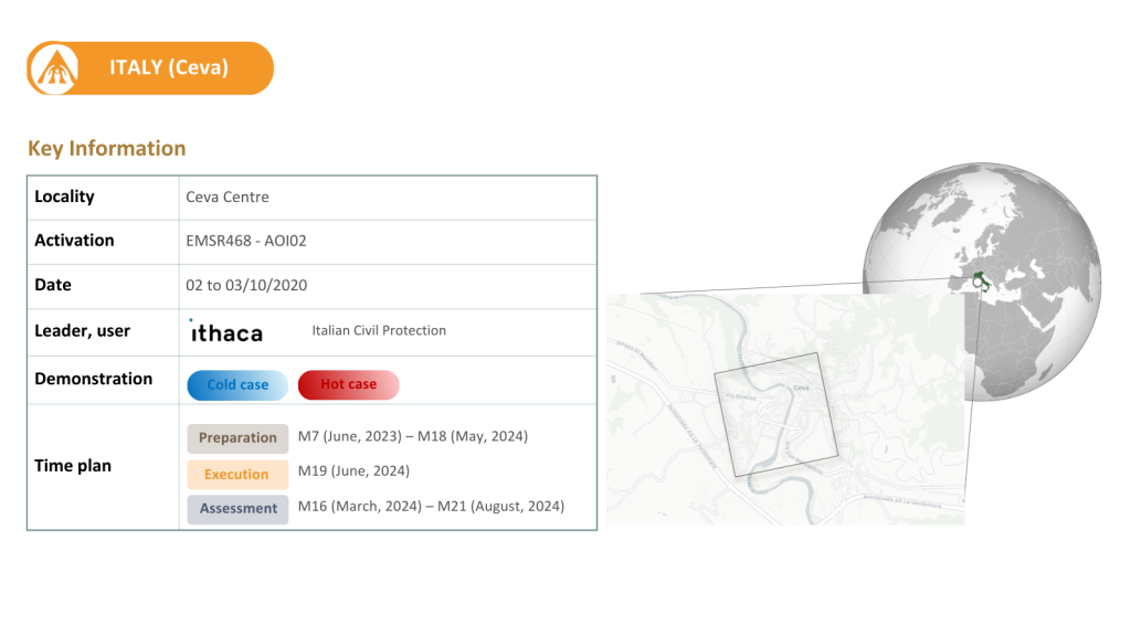
The Italian use case, focuses on the Piedmont region around the Po River. Archive data shows that the region has faced a crisis event on average every 2 years since 1800.
Given its medium hazard level for riverine floods, the region is particularly susceptible to flooding. With a dense population and an abundance of infrastructure, particularly industrial measures such as the levee construction and real-time forecasting have been implemented for flood risk mitigation. Supported by high-resolution datasets and LiDAR scans, this use case enables the integration of advanced 3D modelling techniques for improved flood prediction and impact assessment.
Indicators to be tested:
Historical 6 hourly return period precipitation maps
Machine Learning data driven forecast of return period-based precipitation events in urban areas
Urban inundation probability maps and water depth defined by return period at a spatial resolution lower than 10m