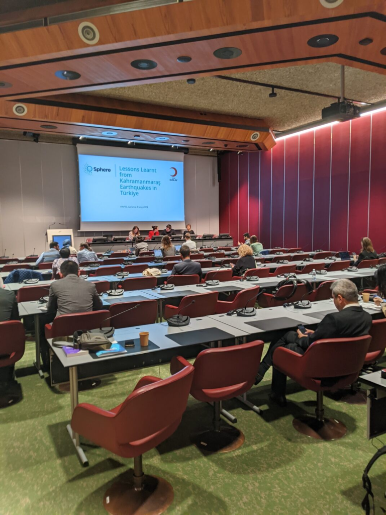
Last week, we attended the Humanitarian Networks and Partnerships Week (HNPW) in Geneva, Switzerland.
This event served as an important platform for stakeholders from various sectors, including the United Nations, country representatives, NGOs, the private sector, the military, and researchers, to come together and address humanitarian challenges.
Throughout the event, several sessions focused on the use of data, including satellite imagery, to support humanitarian action. This is in line with our overarching objectives to address societal challenges arising from climate change through the use of Earth Observation data. In addition, discussions on the potential of ‘big data’ and artificial intelligence highlighted ways to strengthen humanitarian action.
In recent years, there has been a significant increase in the number of data providers and organisations developing innovative solutions to address humanitarian challenges. However, barriers remain, including understanding specific information needs and difficulties in collaboration. This is where the role of Earth Observation and geospatial data becomes essential.
Using EO and geospatial data, CENTAUR aims to develop a platform to support humanitarian decision-making through the development of crisis indexes and alerts related to urban flooding and food and water security challenges. These indexes can provide valuable insights to humanitarian actors by delivering early warning information to support relief efforts.
Overall, the HNPW provided a great opportunity to engage in discussions, gain insights, and be inspired by fellow data analysts and humanitarian practitioners. Going forward, this information will help strengthen the way we approach and communicate data with humanitarian stakeholders.

CENTAUR attends a presentation on Lessons Learnt from the Türkiye earthquakes at the Humanitarian Networks and Partnerships Week in Geneva, Switzerland

