Project Use Cases
News & Events
Coming soon…
Cross-cutting use case in Mozambique
Mozambique is an example of the convergence of climate vulnerability, disaster risk and the growing threat of violent extremism.
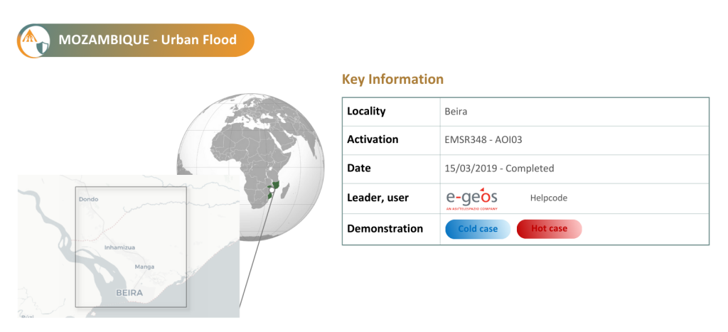
It is primarily a coastal lowland region which is highly vulnerable to rising temperatures, cyclones and tropical storms. The country has faced repeated climatic events in recent years, most notably the 2019 Tropical Cyclone Idai, for which the CENTAUR platform successfully mapped the event, including flood extent and depth in urban areas, along with an analysis of its socioeconomic impacts in the affected regions. The cyclone severely affected the city of Beira, particularly its vulnerable slums.
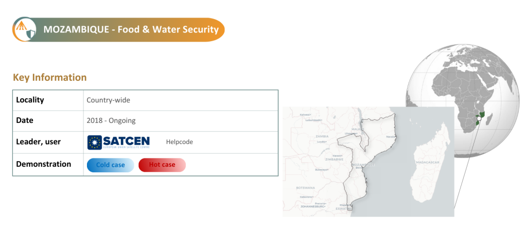
In addition, agriculture is crucial in Mozambique, with over 80% of the population depending on the sector for their livelihoods. Flooding episodes in the region are well known for their devastating impact on food storage and arable land, while recurrent droughts in the central and southern provinces put additional pressure on water availability for both crops and human consumption. These combined shocks often contaminate drinking water sources, reduce crop yields, and undermine food security. At the same time, since 2017, the northern province of Cabo Delgado has faced an upheaval caused by insurgent extremist groups, leading to displacement and further constraints on access to food and water.
Within this context, the CENTAUR platform has demonstrated significant operational capacity, including the generation of 44 products covering key dimensions of climate and conflict risk. Validation results further identified three indicators as “Operational” and three as “Highly developed”. These outputs underscore the platform’s capability to integrate diverse datasets for comprehensive disaster impact analysis, ultimately supporting improved decision-making and response planning.
Based on past cases and the likelihood of events occurring during the CENTAUR timeframe, this use case is considered a ‘hot’ and ‘cold’ case. The aim of the cross-cutting analysis is to assess the interactions between urban flooding and food and water security.
Indicators to be tested:
- Historical 6 hourly return period static precipitation maps (pre-event phase)
- Machine Learning Data Driven Forecast of return period based precipitation events in urban area (early warning-phase)
- Urban inundation probability maps and water depth for scenarios defined by return period at a spatial resolution in the order of <10 m
- Inferred Interferometric Synthetic Aperture Radar (InSAR)
- Urban flood extent
- Urban flooding map based on geomorphological and InSAR approach for an enhanced damage assessment
- Social/Traditional media indicators for Urban Flooding Maps
- Hazard web sources indicator.
- Assets and financial resources
- Public services and government support
- Ability to flee
- Economic impact of floods
- Meteorological drought indicator (Monitoring)
- Meteorological drought indicator (Forecast)
- Meteorological drought indicator (calibrated in danger levels)
- Agricultural drought monitoring (near real-time)
- Agricultural drought forecast
- Agricultural Drought Risk Zone Map
- Population at Risk of Food Insecurity
- Population at Risk of Water Insecurity
- Population Exposure to Conflict
- Food insecurity
- Economic insecurity
- Displaced persons
- Violent Conflicts
- Radicalisation and polarisation
- Humanitarian aid
- Resource capture
- Climate sensitivity of agri-food systems
- Public services and infrastructures
- State-citizen relations
- Dispute resolution mechanisms
- Social cohesion and trust
- Drought Displacement Prediction Index (DDPI)
- Drought Conflict Prediction Index (DCPI)